by Nina Dengg, Team Magdeburg
While there has been much writing about travel on roads here at Viabundus, we still haven’t addressed the question of what medieval land roads actually looked like.
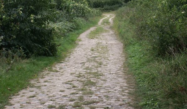
In contrast to the road system in medieval cities, where we already have early evidence for paved roads, the medieval country road system was known for its bad condition (if anything is known about it at all). This is certainly due to the fact that, among other things, in most cases they were unpaved, and were therefore prone to change. The circumstance that prominent medieval writers such as Gregory of Tours tend to complain about the bad condition of the roads rather than praise them may have done the rest.
However, the appearance of the roads was highly variable: it depended on the travelers, the type of use, the weather conditions and the seasonal climate. Because of the flexible nature of the paths, in some places the roads fanned up into wide path bundles, which are characterized by several parallel routes in the terrain and also influenced the location of land use and territorial boundaries. Generally, we can at least state that in areas with greater landscape relief and steep slopes, high valley shoulders or terraced edges were chosen to move on, in order to avoid mountainous areas. In most cases, paving the road only became necessary as soon it was used by vehicles that were not suited for using the bare subsoil. For this reason, roads can usually only be attested archaeologically when they were designed for carts or wagons.
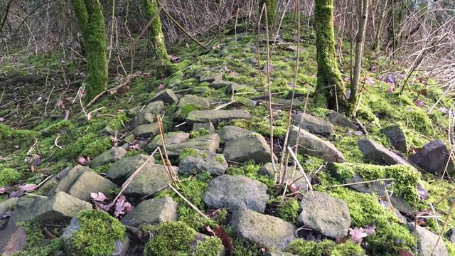
In the following, I will show some typical road types that have been uncovered by archaeological finds. Most of them were in use during the Middle Ages throughout Europe and left traces in the terrain until today. However, it must be noted that most archaeological finds of road constructions cannot be dated and thus not all types of roads can clearly be placed into the Middle Ages. Moreover, several road construction techniques were used until Early Modern times or even longer, so remains of old road construction do not necessarily point to ancient or medieval roads.
