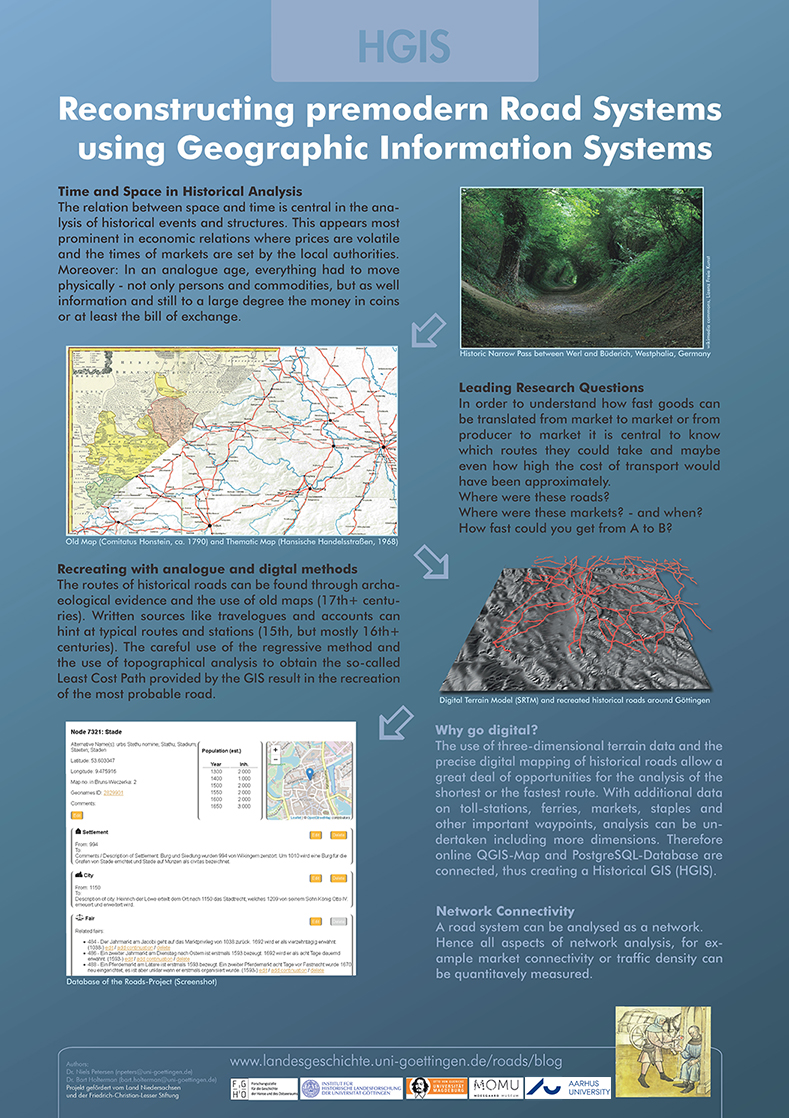
DH is not only about text recognition, annotation, language processing, the accumulation of metadata, the creation of colourful network-visualisations or 3D scans. We all know: Space is a very important aspect in humanities, be it in the location of dialects, the spread of certain artefacts or, most prominent, the course of history in general. Time and space belong together. This has always been a major challenge in the creation of maps depicting historical events. The printed map could only use the given space once. Monochrome maps had to operate with shades of grey or certain patterns to show changes in time and space and used arrows to depict movement. Coloured maps opened up new possibilities to show dynamic events or changes in landscape or built environments. It is now with digital maps and the use of GIS and its online presentations that the dynamics in time and space can really be made visible. Layers open the possibility to interact: they can show a status in time or highlight certain elements. But most important: A real interactive data driven map can be a research tool in itself – that is, what we are aiming at.
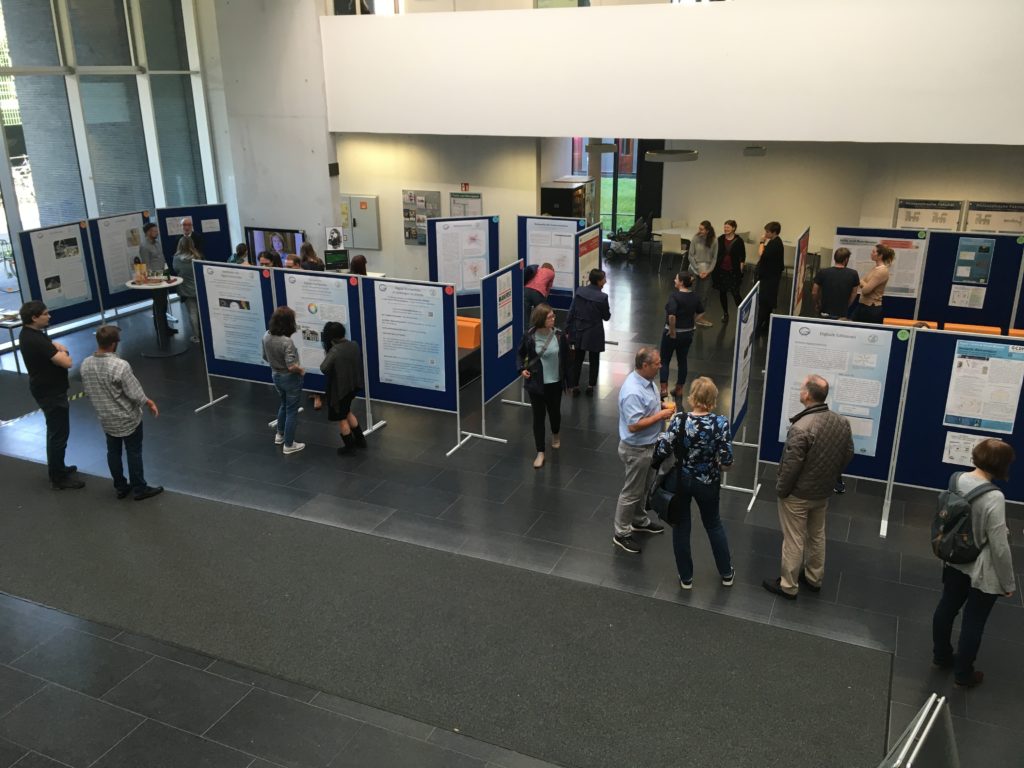
The Faculty of Humanities at Göttingen University showed off with their current projects in an (analogue) exposition. It looks like DH is slowly becoming a valued element of research in the humanities and students are well aware of it; there is a growing demand for courses involving methods of DH.