On March 17, feastday of St Gertrude of Nivelles, the latest update 1.3 of Viabundus was released. It includes among others the following features:
- Additional roads were mapped in the German states Hesse and Rhineland Palatinate, extending the mapped area southwards to Heidelberg.
- The road networks of the German states Bavaria and Saxony, parts of the Czech Republic, and the former German province East Prussia (now predominantly located in the Russian oblast Kaliningrad), which were included in Hansische Handelsstraßen, have been checked for historical accuracy.
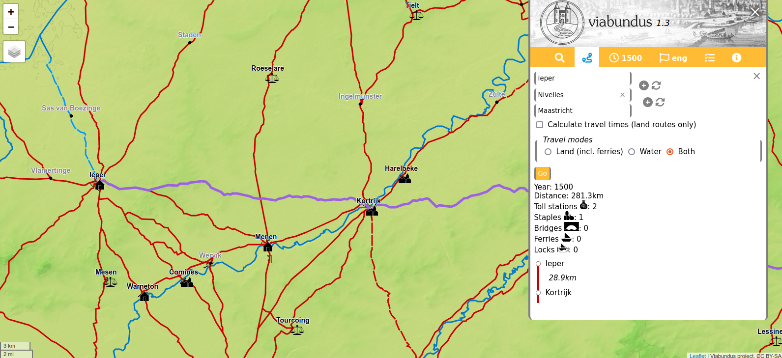
- Reconstruction of the road network of a large part of Belgium and a small part of northern France, predominantly the historical principalities of Flanders and Brabant, together with the inclusion of all towns in the Burgundian Netherlands as mapped by Jacob van Deventer (16th c.) and collection of additional information in this region.
- Ongoing improvement of nodes and roads in the Netherlands and Denmark.
- Migration of the database from MySQL to PostgreSQL, which allows the use of the pgrouting package for the route planner, significantly speeding up route calculation.
- Inclusion of additional stops in the route planner.
- In cooperation with the World Historical Gazetteer and as a further step towards the Viabundus dataset as Linked Open Data, the nodes have been linked to Wikidata and other datasets where appropriate.